|
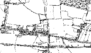
A number of old maps covering the Takeley area are available on the internet.
For an OS map dating from 1881 go to old-maps.co.uk and search for Takeley.
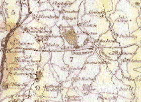
For more general old maps the following sites list old maps for sale but include images which may be useful for research purposes.
rare maps of the British Isles
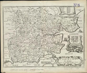
Old and Antique county maps of the British Isles
A good site to compare old maps with an up to date map is Streetmap.co.uk
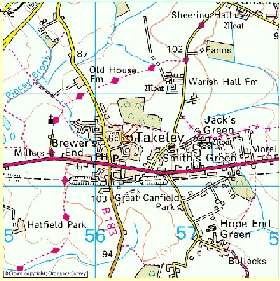
All map images above courtesy of the relevant weblinks.
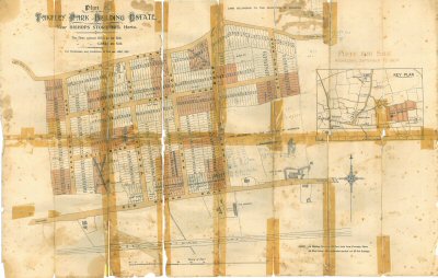
Takeley Park Building Estate A map from 1904
Norman B. Leventhal Map Centre at the Boston Public Library
This resorce has an excellent collection of old maps that can be downloaded.
|